Poster presenting the map:

Inspired by Harry Beck's revolutionary tube map of London, this experiential map utilizes line and shape to represent a network of trails in Raleigh's first nature preserve. Areas of particular interest are called out in their relative geospatial locations. The map is superimposed on a sequence of patters denoting physical features such as trees, pine straw, grass, and sunlight.
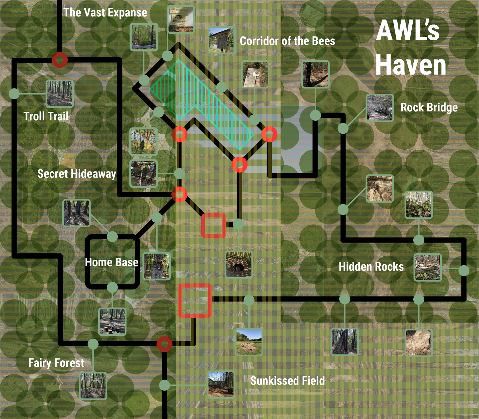
This finalized version is superimposed on images of the nature preserve in their relative locations in order to provide a more immersive feel.
Process:
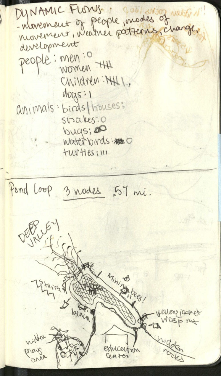
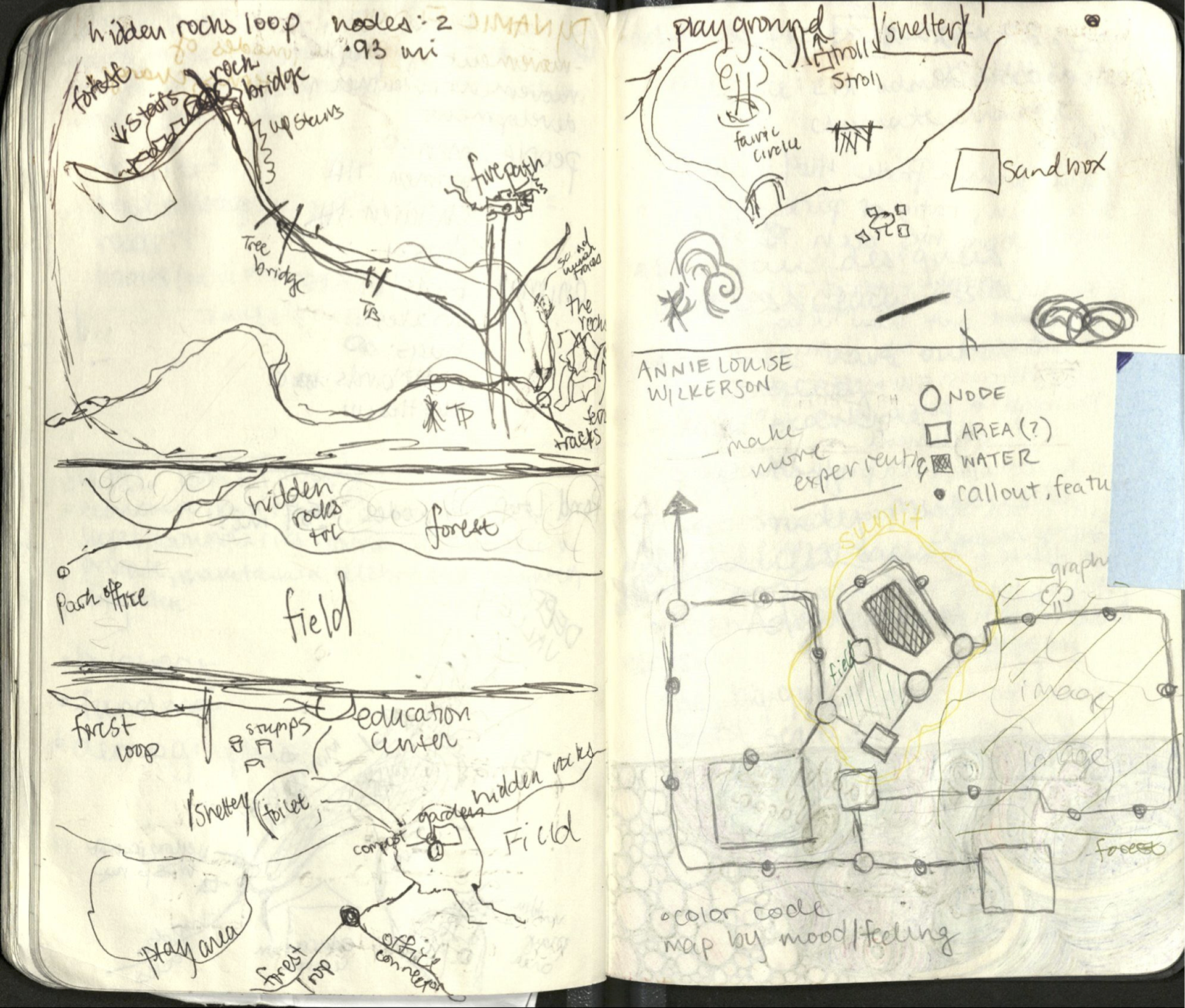
I walked the entirety of the park and hand mapped the trails in order to get an authentic feel of the experience.
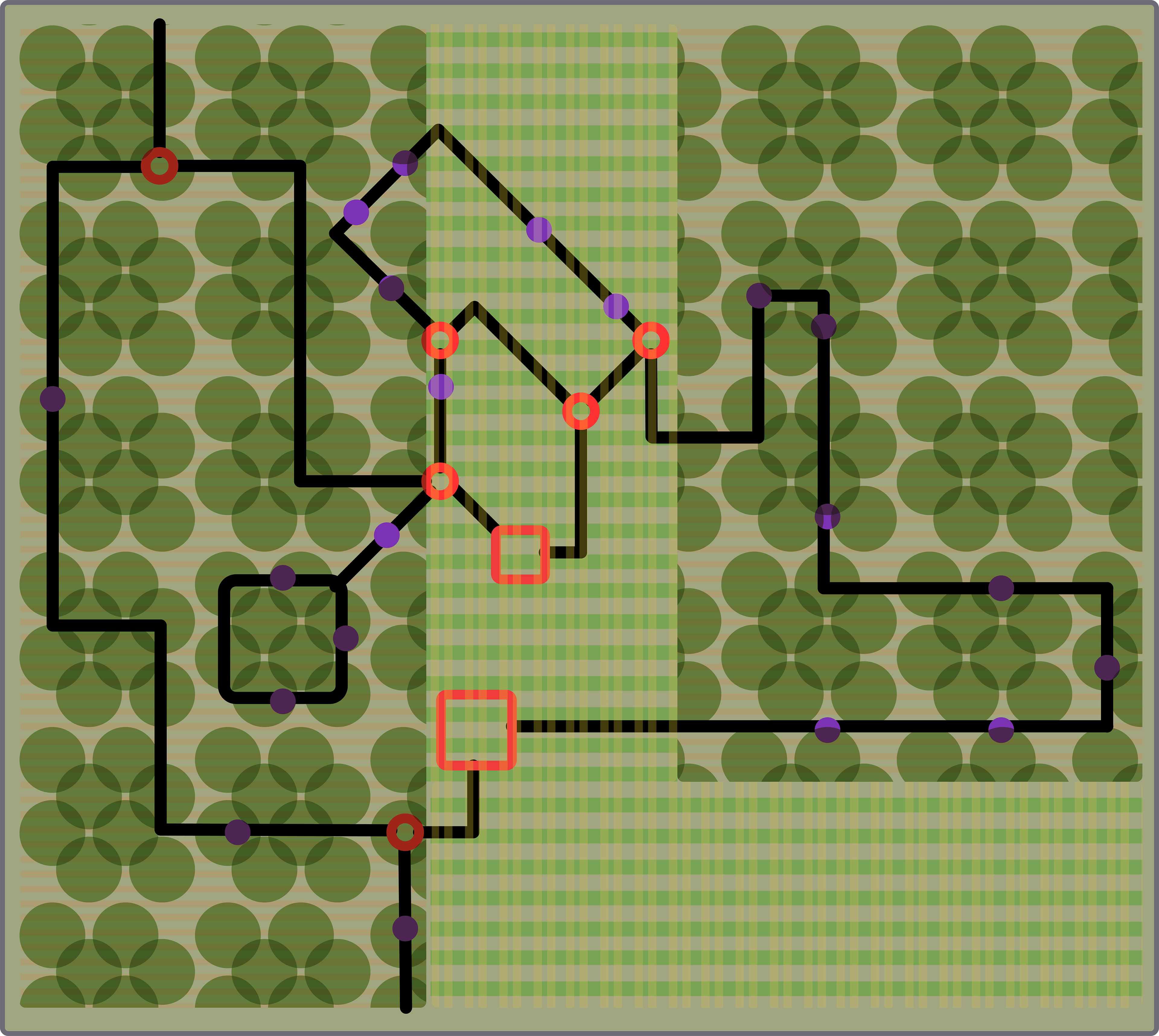
An early render of the network map, based roughly on its geospatial equivalent.